View the updated designs
View key features and design summaries for each section of the GreenWay missing links, or watch a video presentation (18 mins) to learn about the project in more detail.
 Your Say Inner West
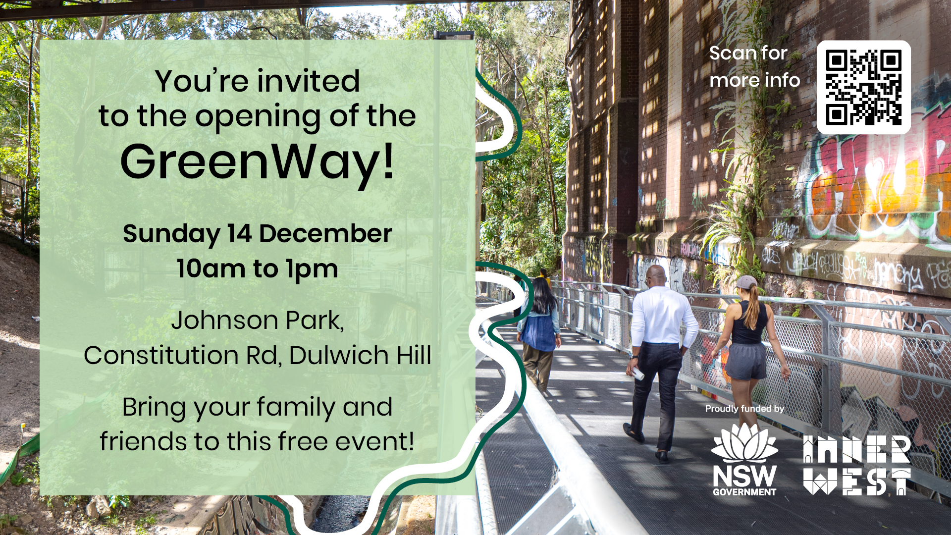
Join us on Sunday 14 December 2025 as we officially open the GreenWay, delivering a 6km walking and cycling path connecting the Cooks River at Earlwood to the Parramatta River at Iron Cove and the Bay Run. Find out more here.

The draft design plan of the central and southern in-corridor missing links of the Cooks to Cove GreenWay is now available for comment.
The Cooks to Cove GreenWay is a biodiversity and active transport corridor linking the Cooks River to Iron Cove. The GreenWay is on the traditional lands of the Gadigal-Wangal people.
It mostly follows the route of the Inner West Light Rail and Hawthorne Canal and features cycle paths and foreshore walks, cultural and historical sites, artworks, cafes, bushcare sites and a range of parks, playgrounds and sporting facilities. Once completed it will measure 5.6km from Cooks River to Iron Cove.
We are completing this project in stages and delivering beautiful parks and natural areas, sporting facilities and public artworks along the corridor. Some sections of the GreenWay are already completed or in progress, such as the Bay Run upgrade, Richard Murden Reserve in Haberfield and Weston Street and the Hercules Street crossing in Dulwich Hill.
After more than 10 years of campaigning by the Inner West community and councils, funding has now been secured to complete the ‘missing links’: the central and southern sections of the GreenWay from Parramatta Road through Lewisham West and Dulwich Hill to the Cooks River. These sections run alongside the light rail line and are referred to as in-corridor works.
Council has engaged a building contractor (Gartner Rose) to complete the missing links in the GreenWay corridor and to implement the GreenWay Masterplan.
After extensive community consultation on the Masterplan, it was adopted by Council in 2018. The GreenWay concept designs have received community feedback and were finalised in 2020.
Council's consultants have now prepared a draft design for review.
Key features of the Cooks to Cove GreenWay draft design plan include:
View key features and design summaries for each section of the GreenWay missing links, or watch a video presentation (18 mins) to learn about the project in more detail.
The draft design plan for the remaining in-corridor works of the GreenWay shows the extent of the Masterplan works in detail.
We have sought community feedback to ensure the draft designs are true to the 2018 Masterplan.
Out and about in the neighbourhood?
Come along to a drop-in session to find out more about the project and share your ideas.
Let us know whether you support the draft design.
This survey should take less than 5 minutes to complete.
We are committed to making sure you can access the information you need in a format that is right for you.


Timeline item 1 - complete
October - November 2017
Community invited to provide input to inform GreenWay Masterplan
Timeline item 2 - complete
June 2018
Draft GreenWay Masterplan on public exhibition for final feedback
Timeline item 3 - complete
August 2018
Masterplan adopted by Council
Timeline item 4 - complete
March 2019
Draft concept design on public exhibition for feedback
Timeline item 5 - complete
May 2019
Concept design finalised
Timeline item 6 - complete
February 2021
Draft Detailed Design for Bay Run upgrades and Draft Review of Environmental Factors open for feedback
Timeline item 7 - complete
June 2021
Detailed design for Bay Run and Review of Environmental Factors finalised
Timeline item 8 - complete
4 April - 3 May 2023
Draft design plan available for the community to explore and provide comment
Timeline item 9 - complete
Design finalisation
The contractor and their design team will prepare the final design for the GreenWay
Timeline item 10 - complete
August 2023
Missing links in-corridor construction commenced.
Timeline item 11 - complete
2025
Construction of priority works to be finalised
Timeline item 12 - incomplete
Opening event 14 December 2025
You're invited to the official opening of the GreenWay more
If you have any questions or would like more information on this project, contact the GreenWay Engagement Officer.
| Name | Magda Jansen (Tue & Thu) |
|---|---|
| Phone | 02 9392 5425 |
| magda.jansen@innerwest.nsw.gov.au |

We acknowledge that this land area traditionally belonged to the Gadigal and Wangal peoples of the Eora nation.